indonesia — Boxing day Tsunami 2004
Mark Pearson
Padang, Aceh Province, Sumatra © Mark Pearson
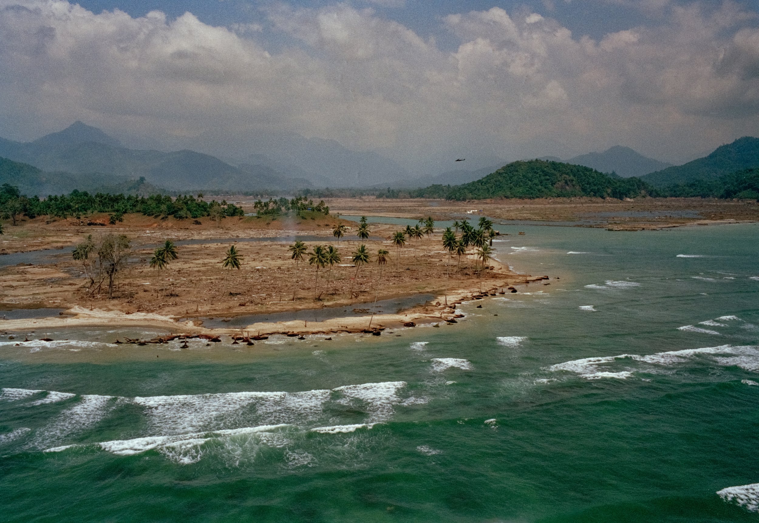
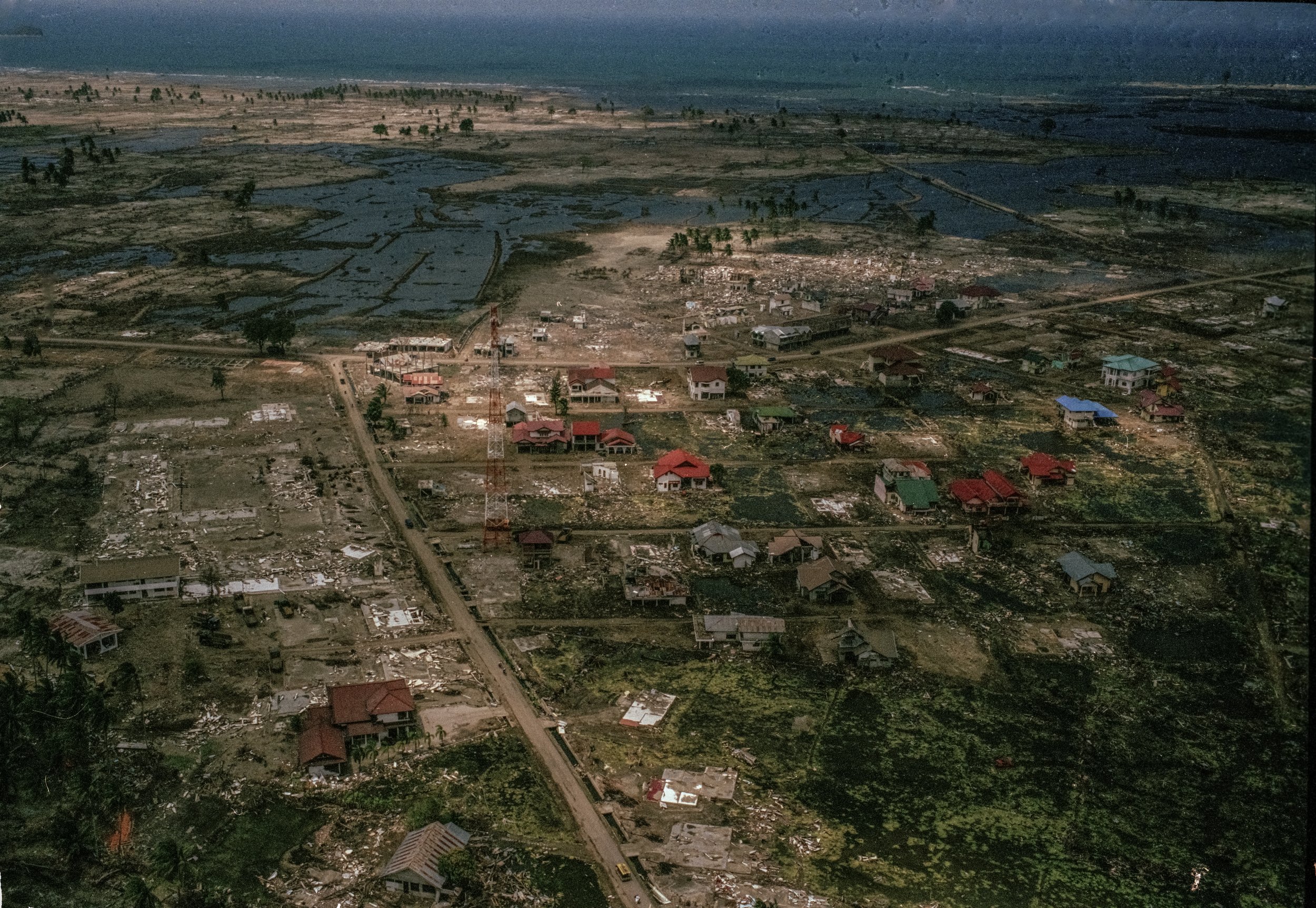
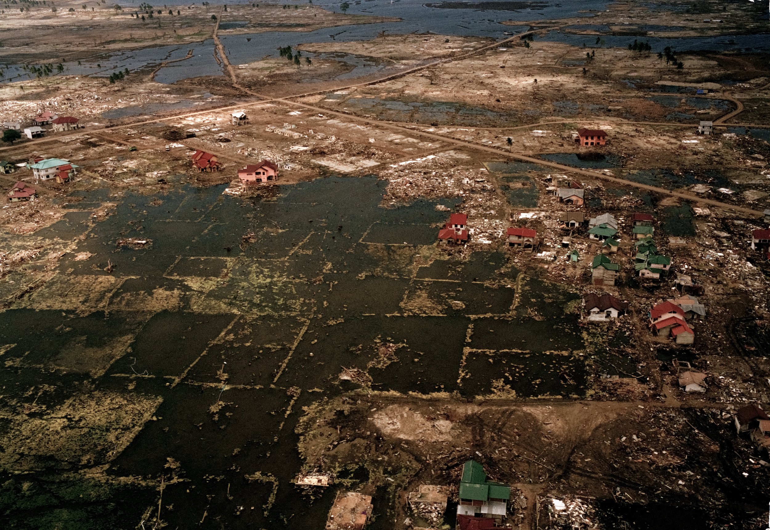
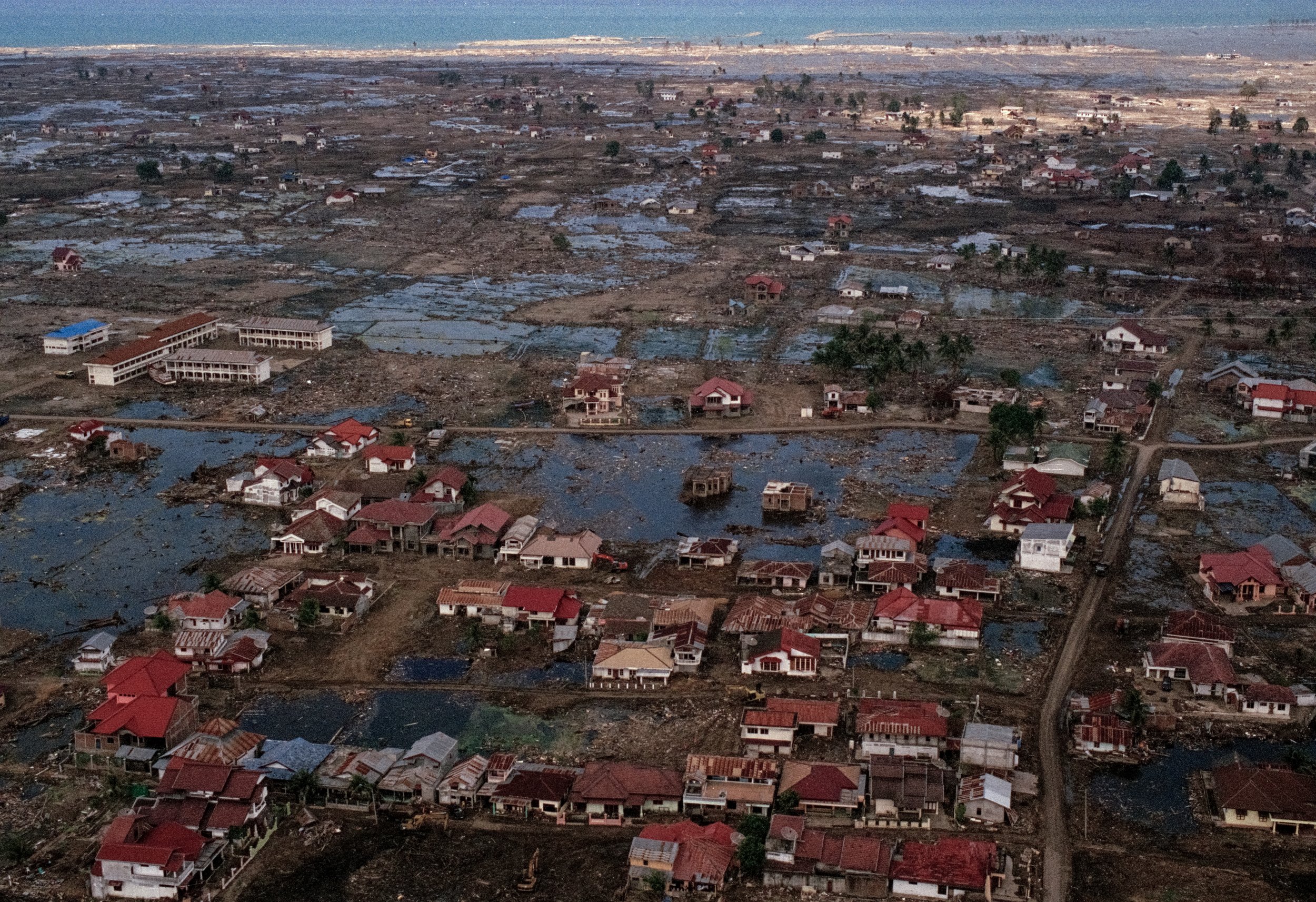
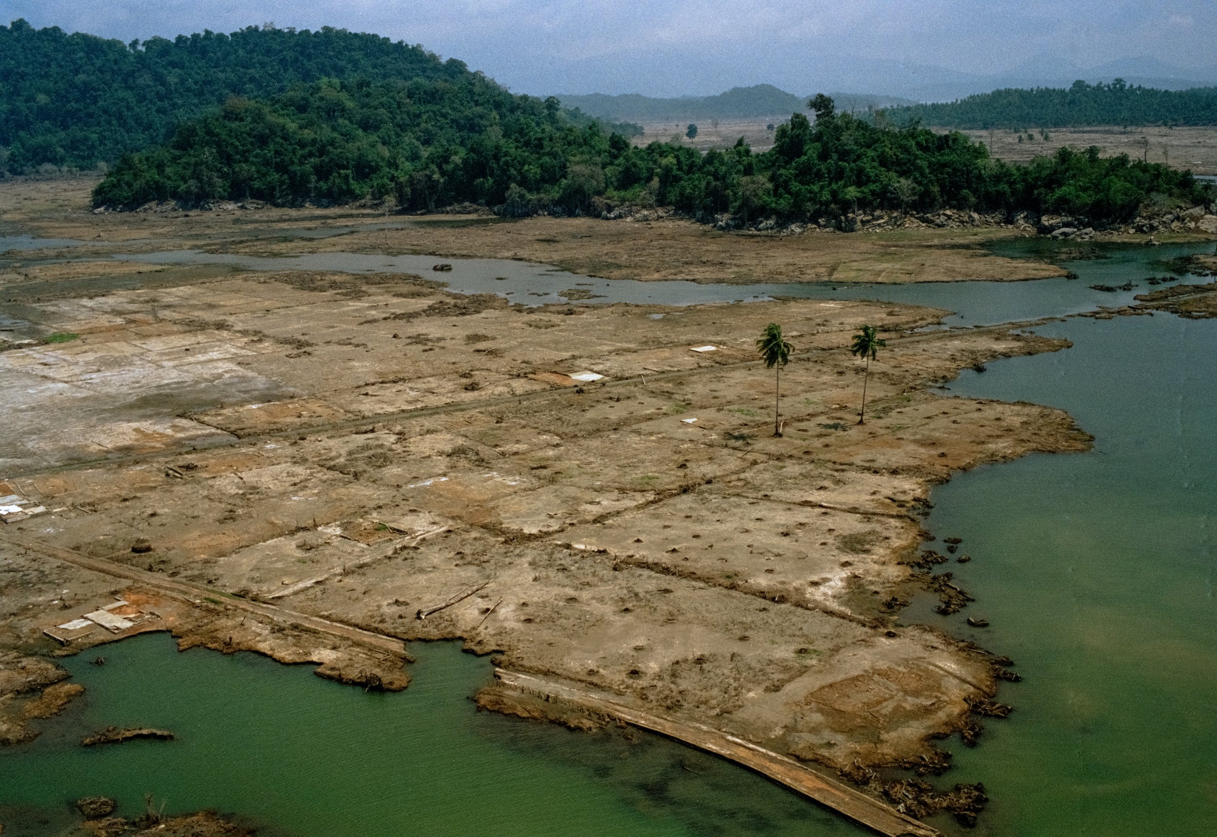
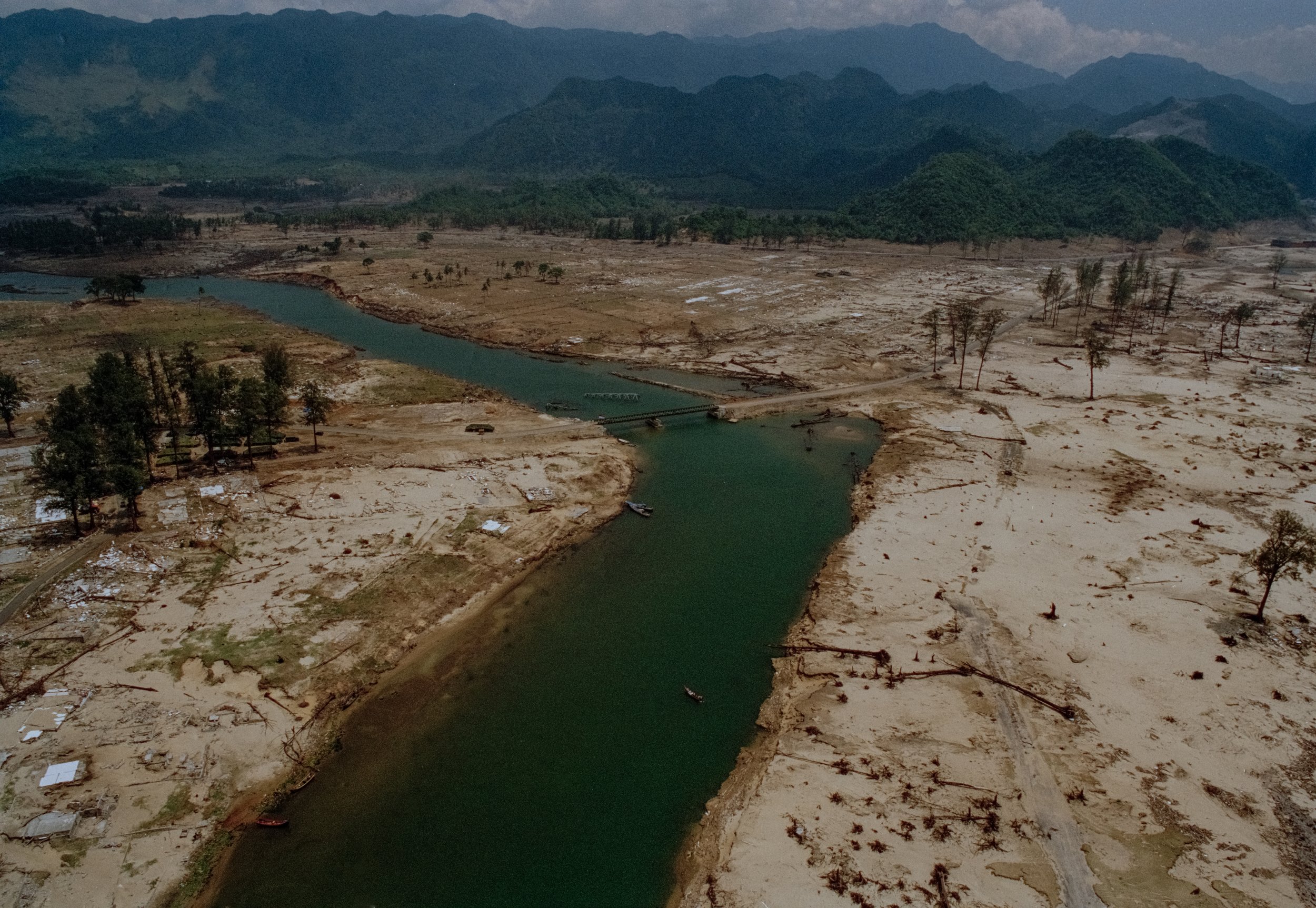
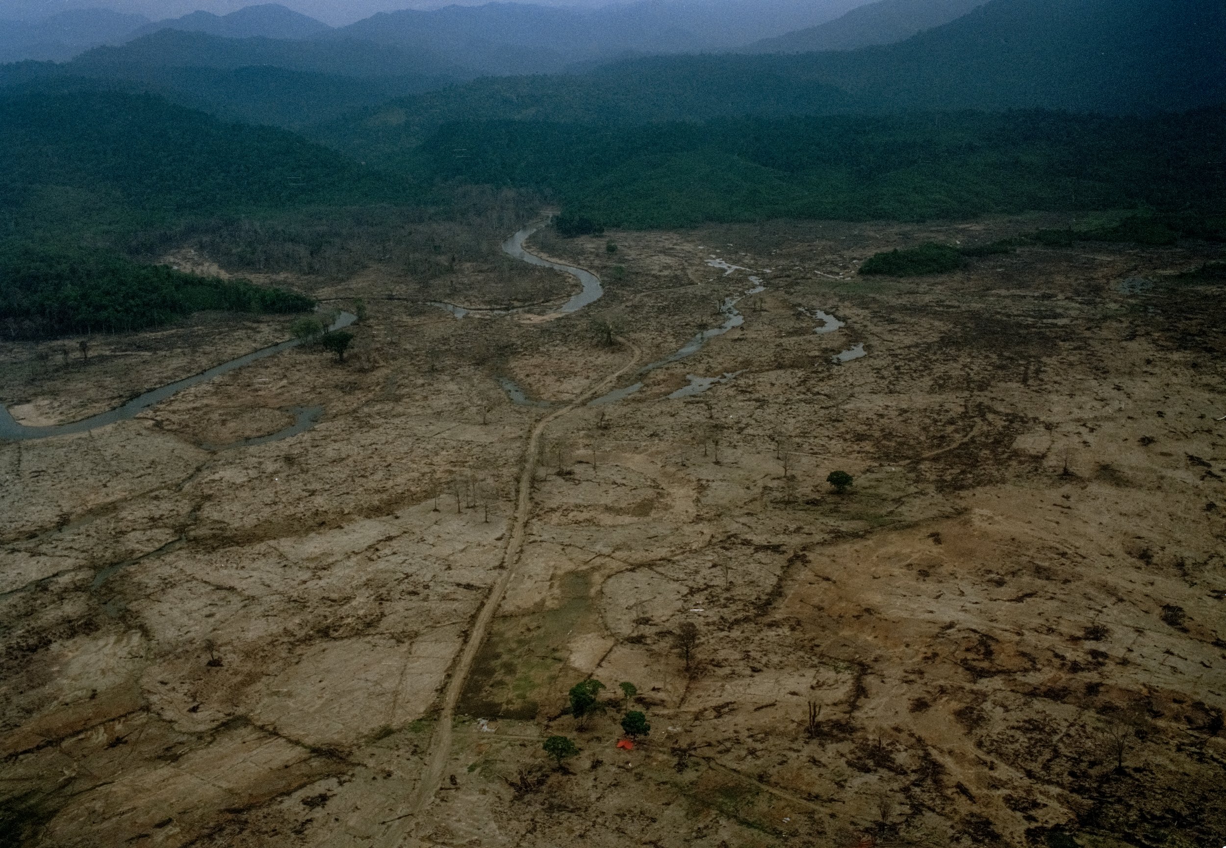
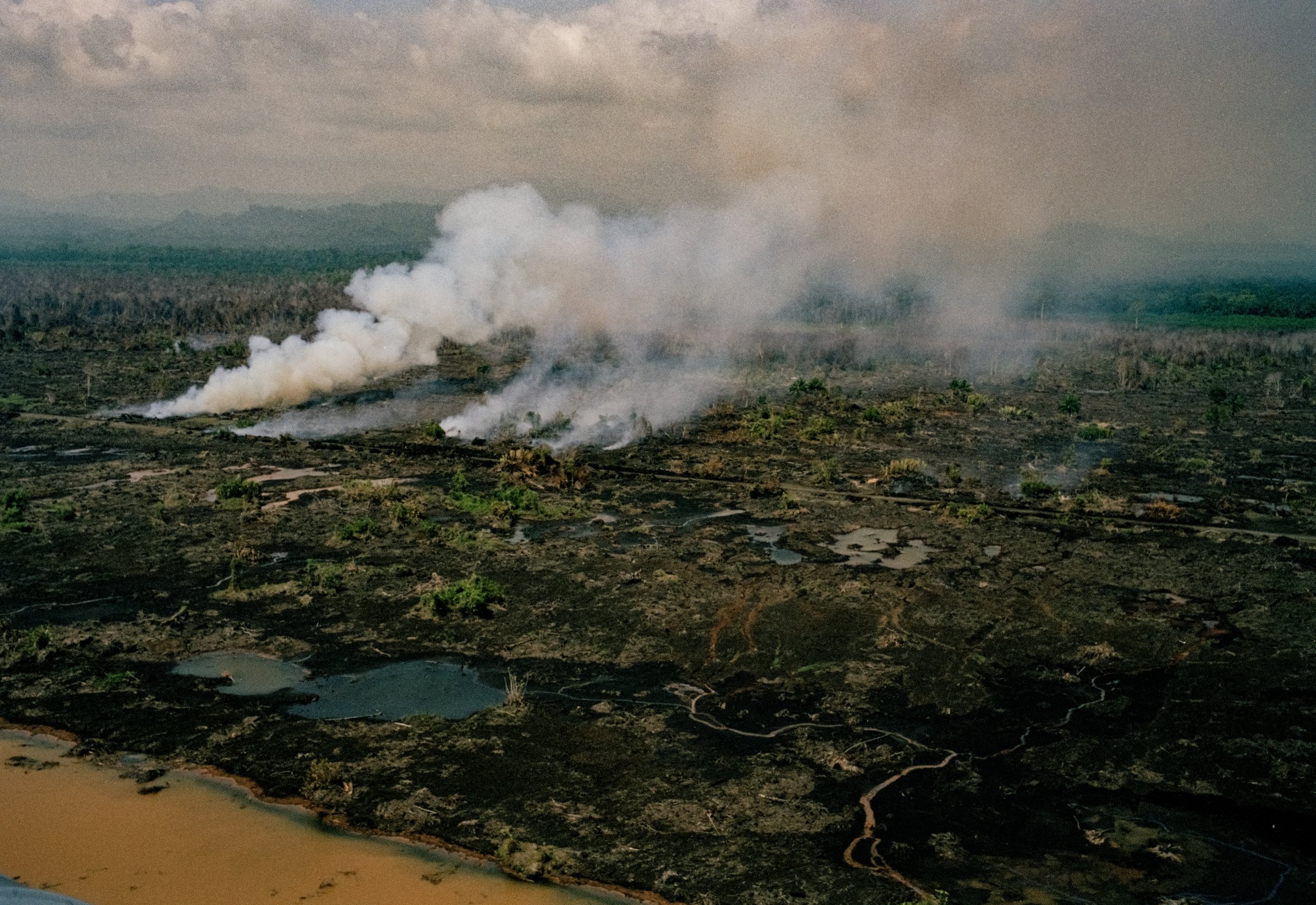
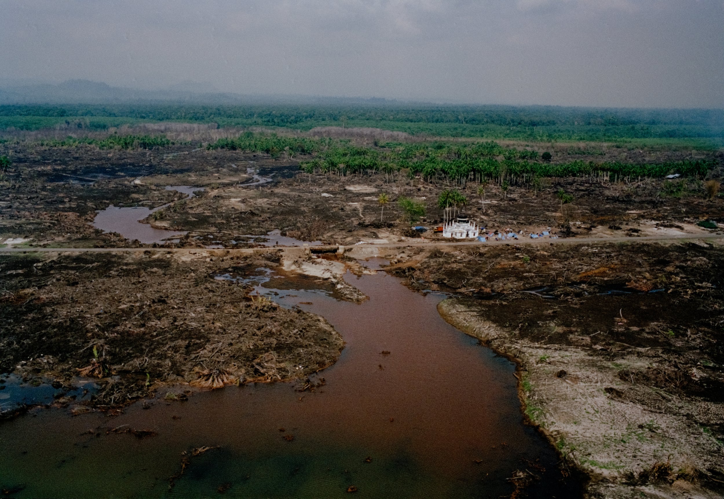
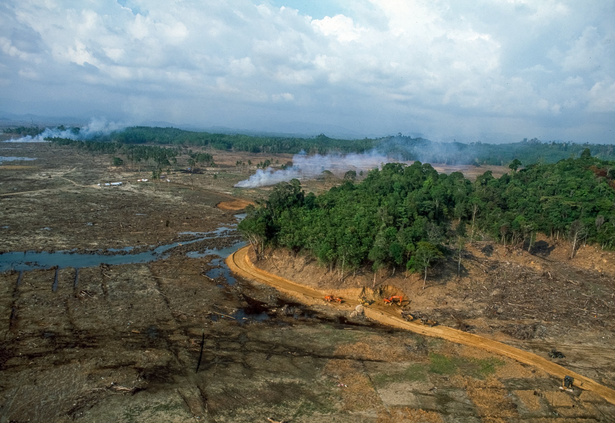
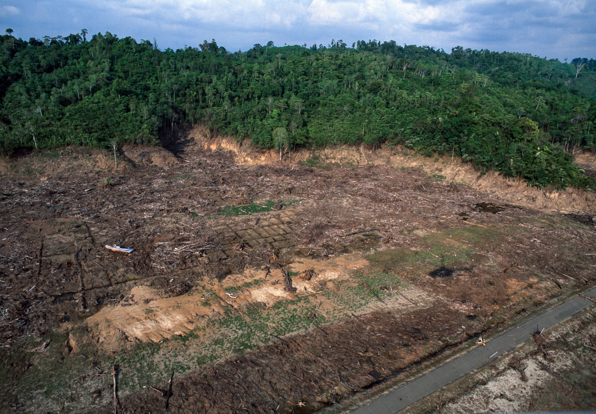
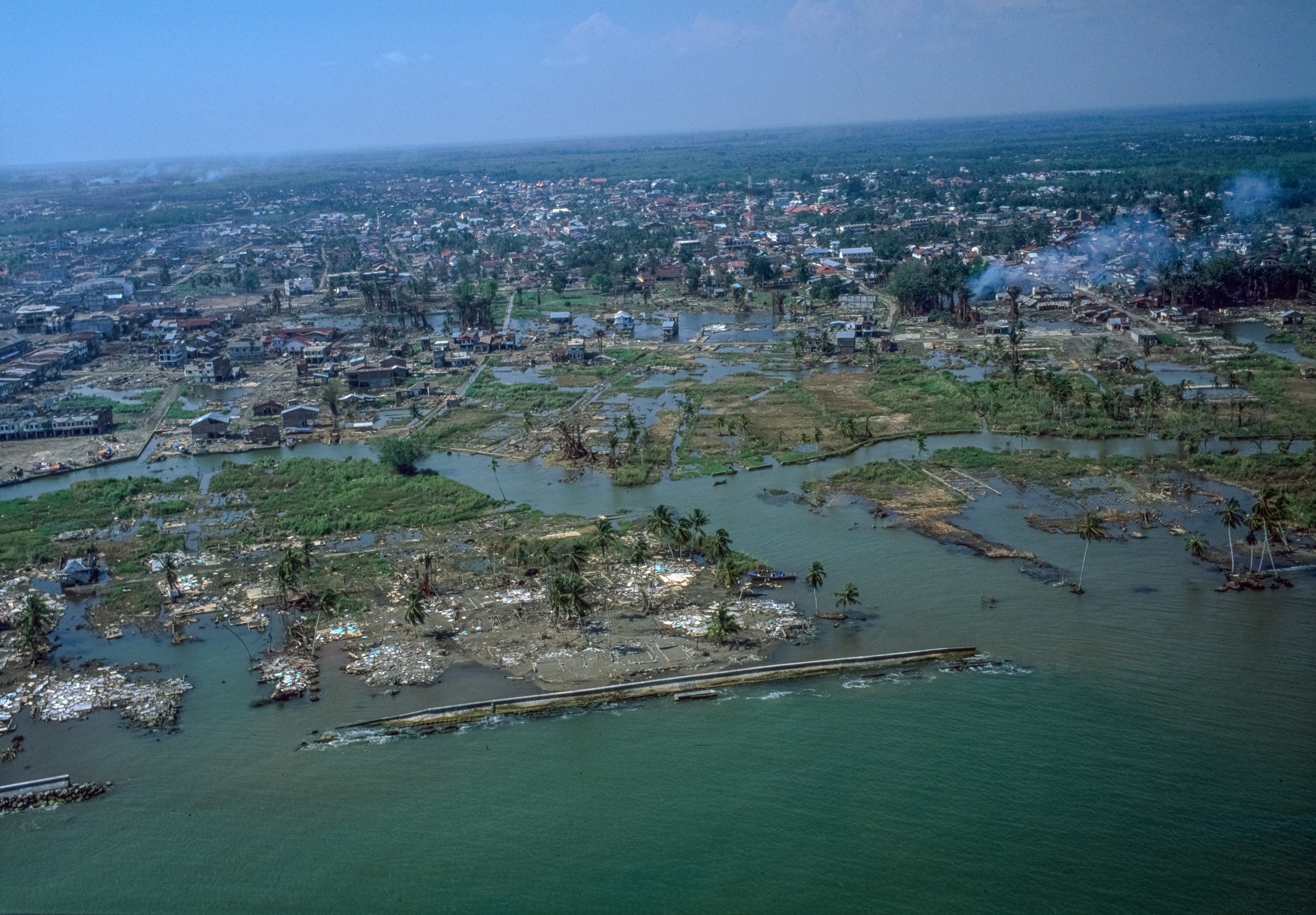
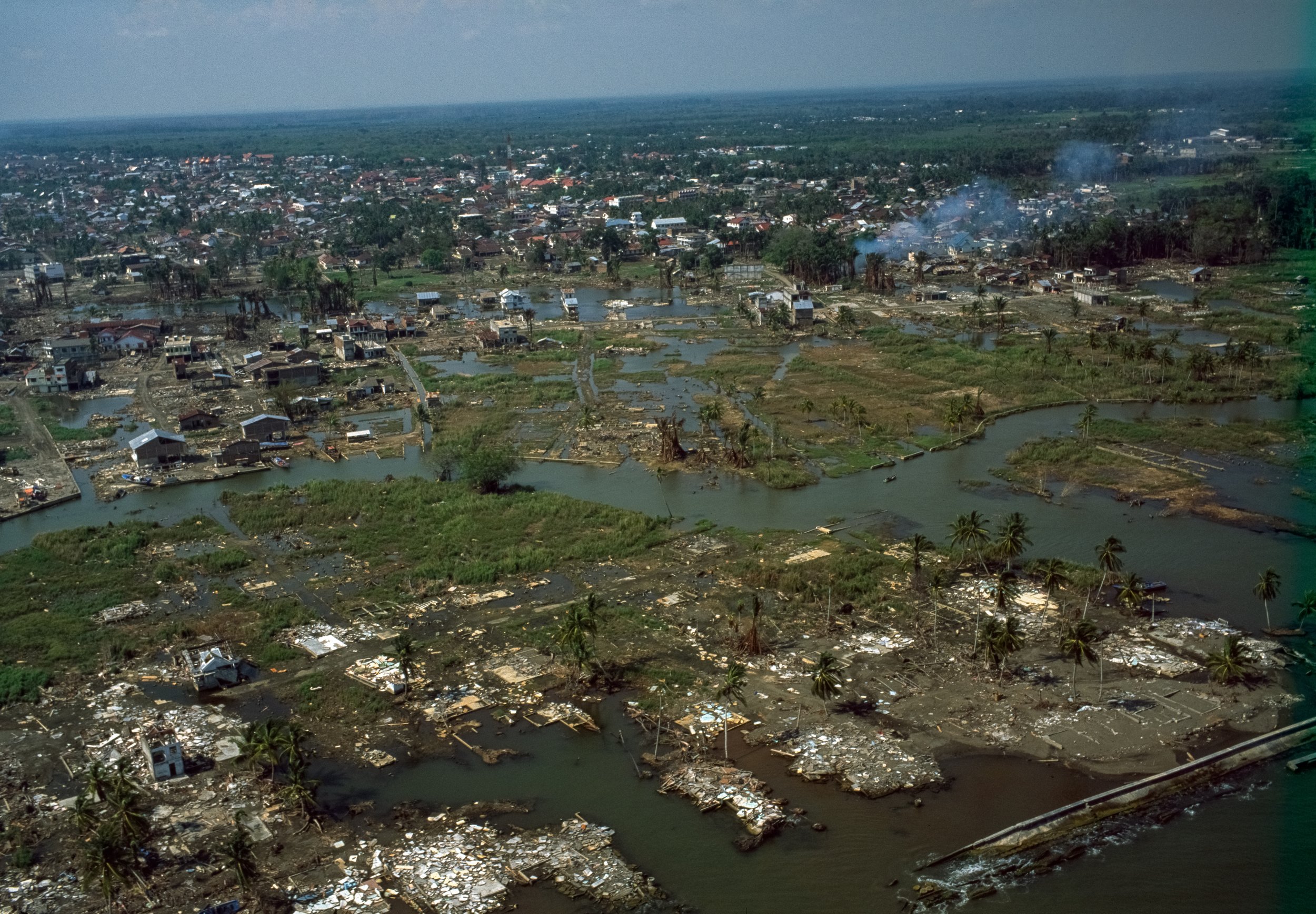
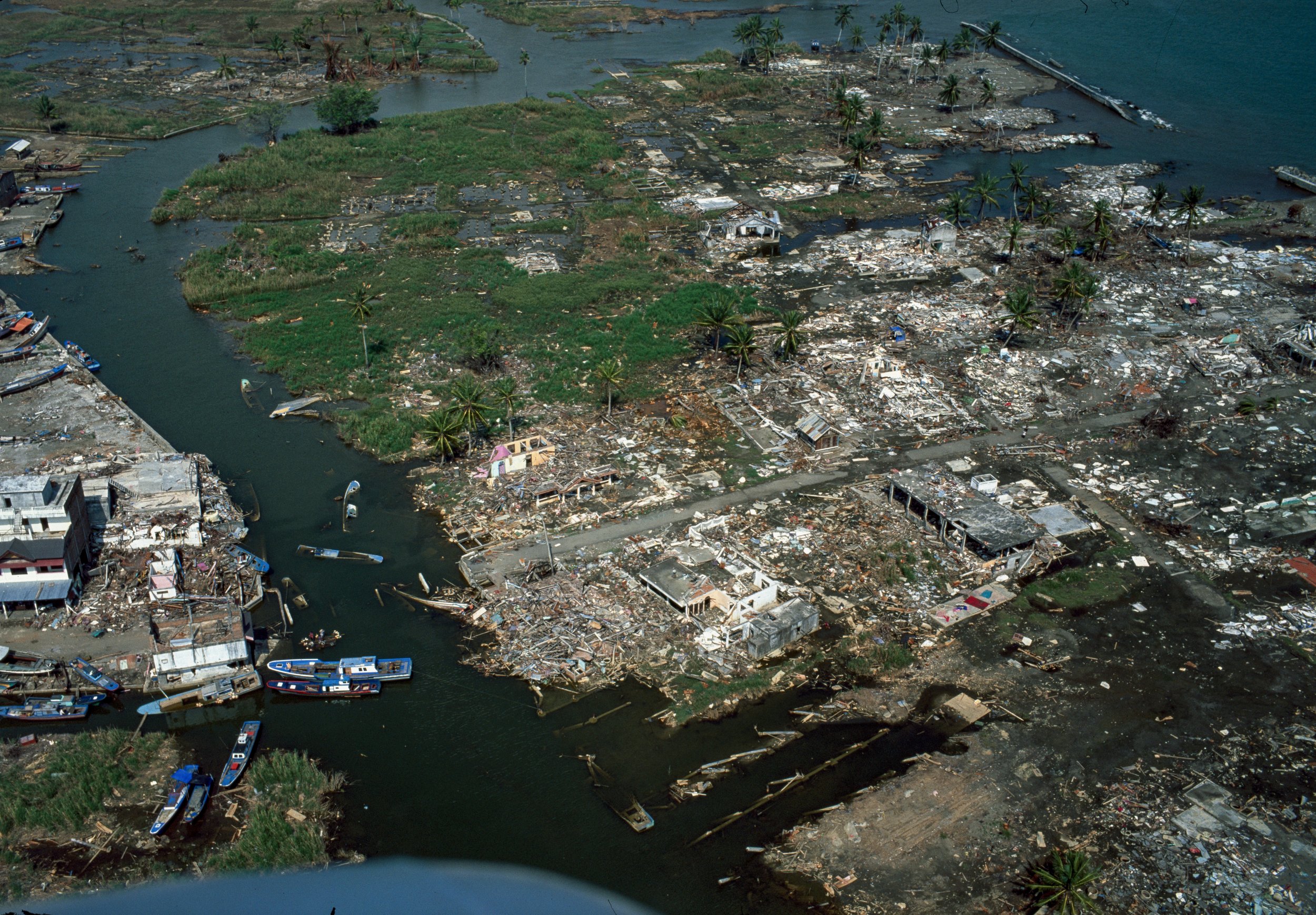
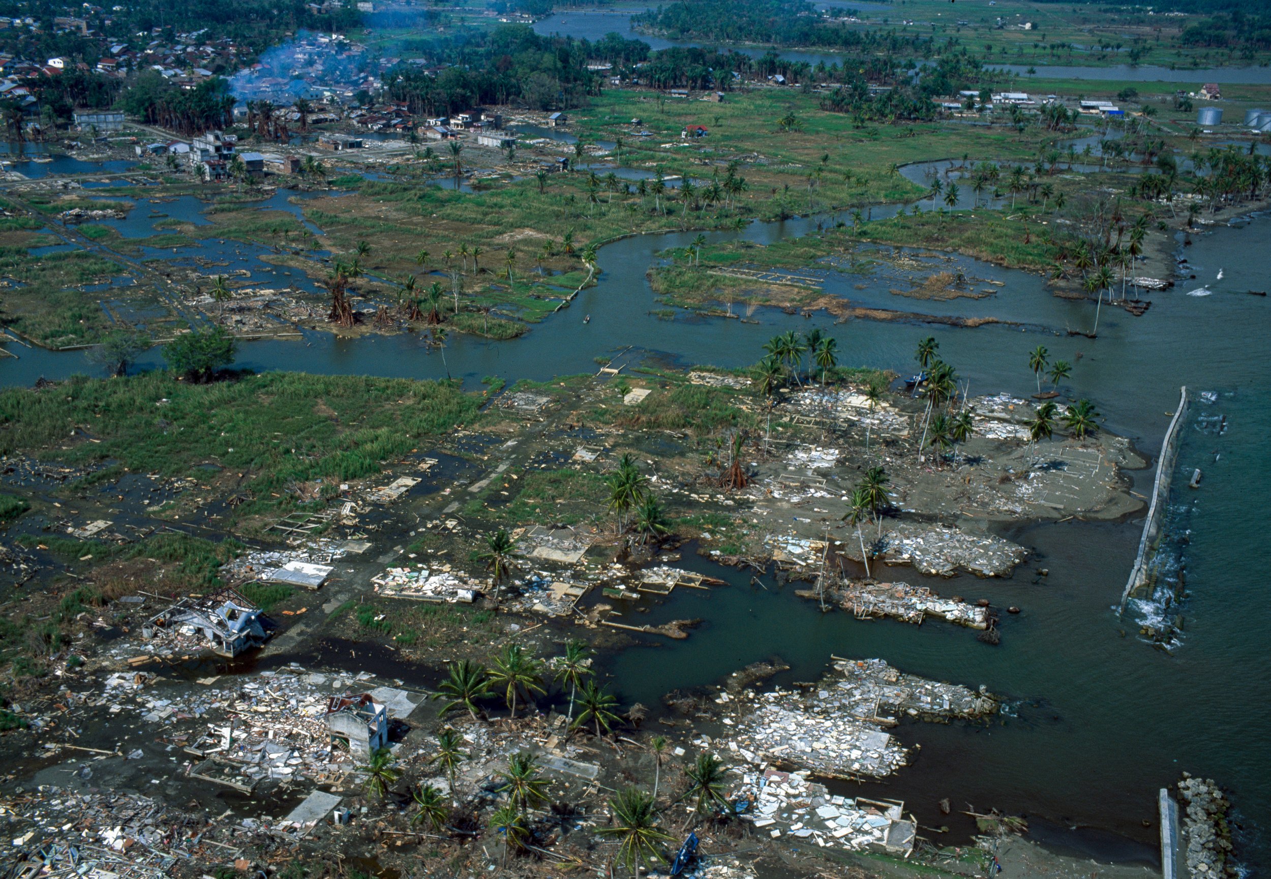
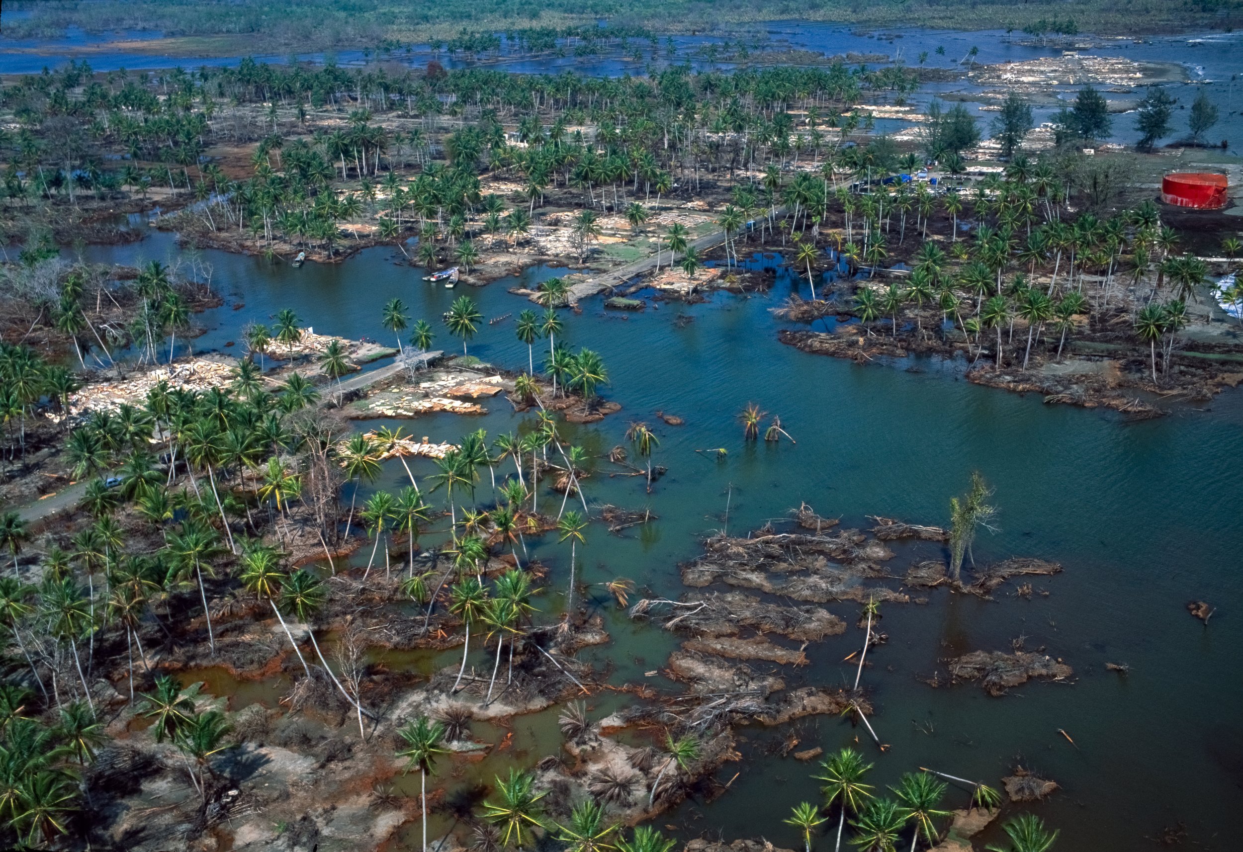
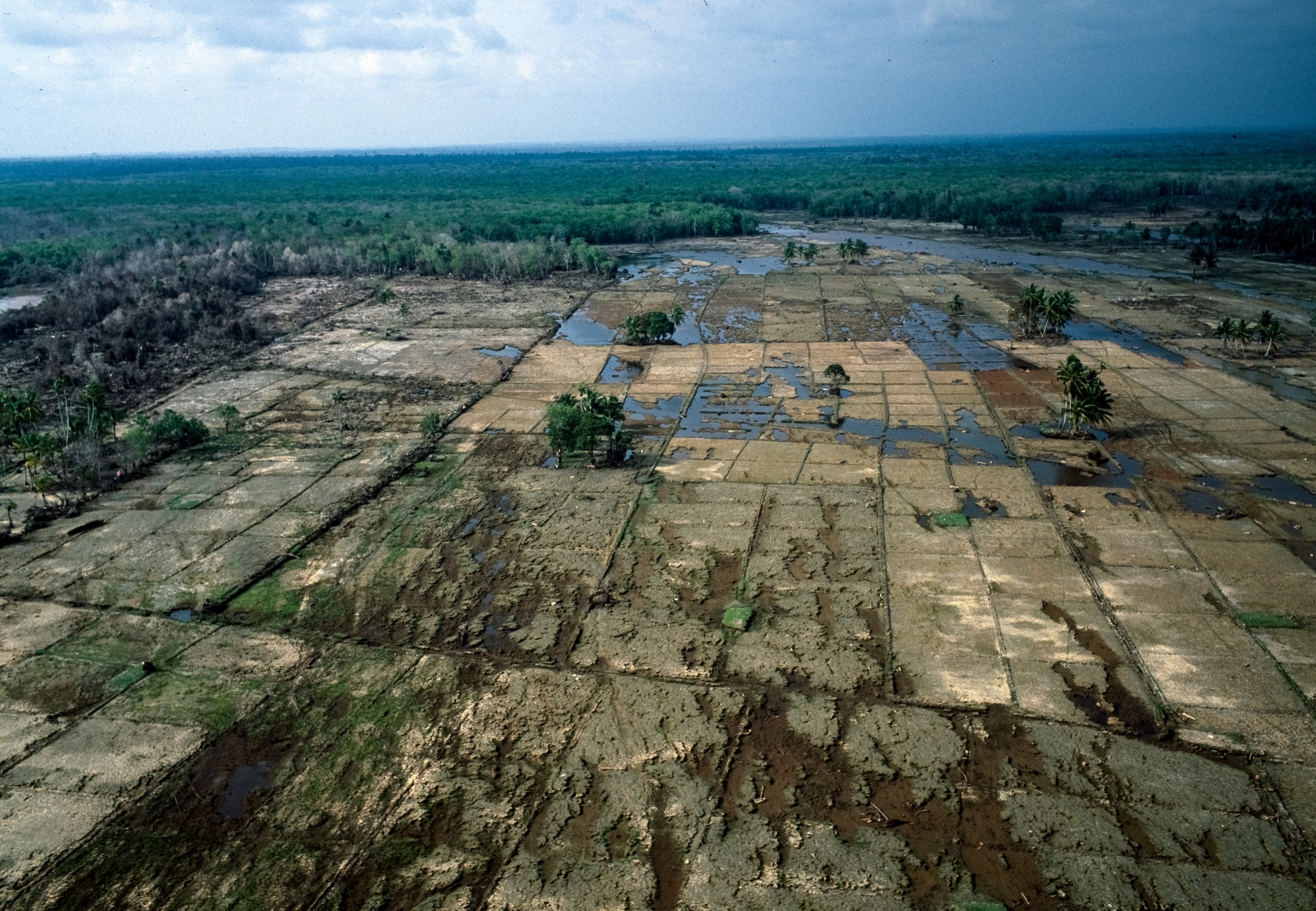
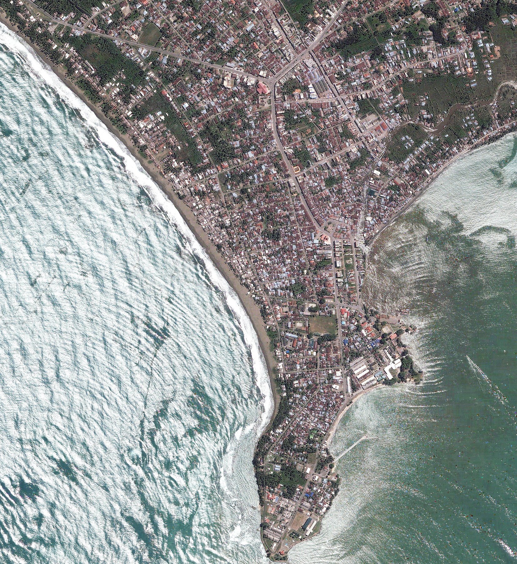
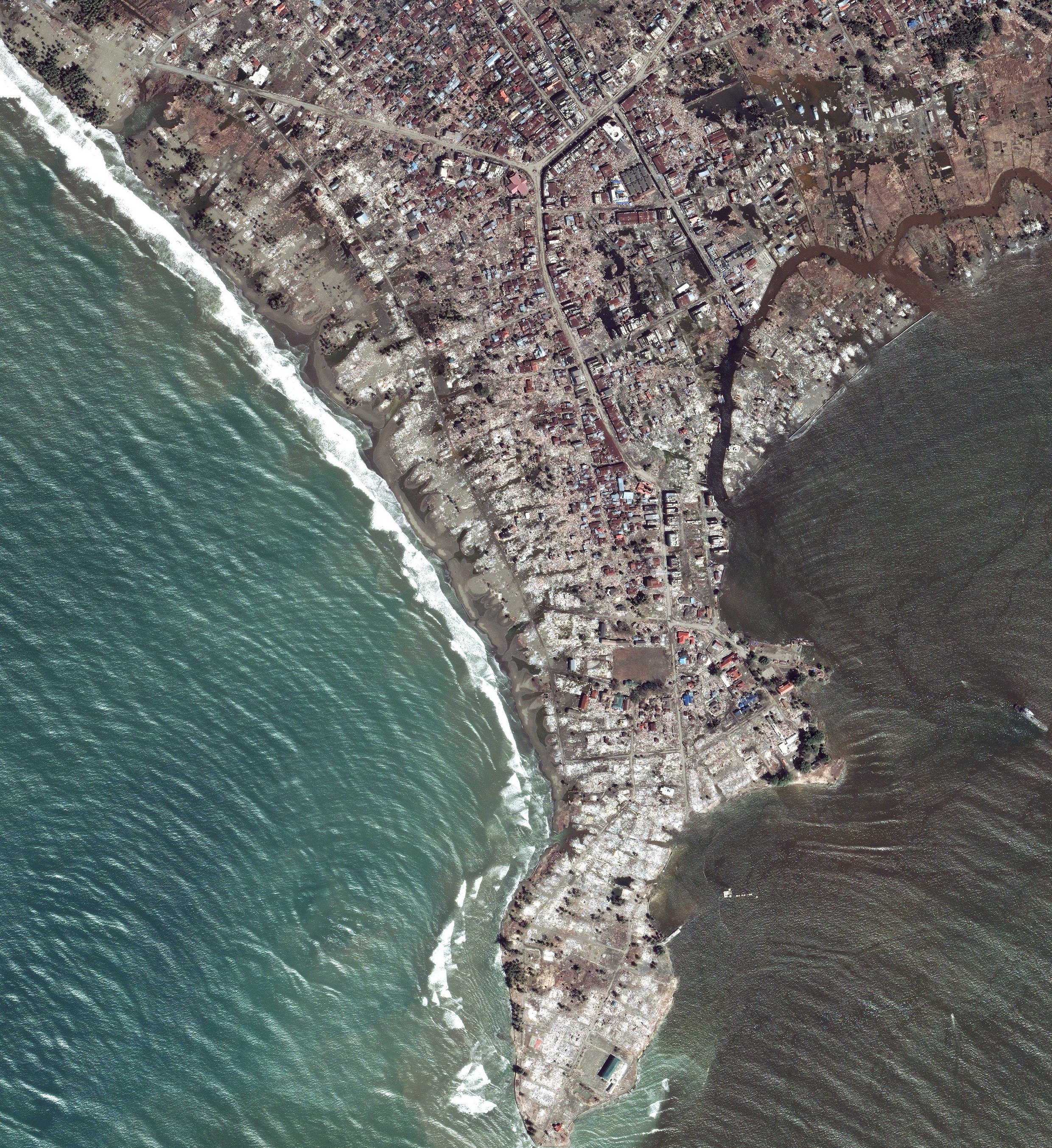
A 9.1 magnitude earthquake hit near Sumatra, Indonesia on December 26, 2004. It caused deadly tsunamis across the Indian Ocean. Over 250,000 died in 14 nations, with Aceh, Indonesia suffering the most. Banda Aceh, Calang, Meulaboh, and Leupung were severely affected, along with Simeulue and Nias. The tsunami's impact was devastating, wiping out villages and a third of Banda Aceh. Waves reached 30 meters, striking within 20 minutes of the quake. The lack of warning worsened the catastrophe. © Mark Pearson
Aerial photography of the areas affected by the tsunami in northwestern Sumatra, Indonesia, Jan, 2005 © Mark Pearson
Aerial photography of the areas affected by the tsunami in northwestern Sumatra, Indonesia, Jan, 2005. © Mark Pearson
Aerial photography of the areas affected by the tsunami in northwestern Sumatra, Indonesia, Jan, 2005 © Mark Pearson
Aerial photography of the areas affected by the 2004 Boxing Day tsunami in Padang, northwestern Sumatra, Indonesia, Jan, 2005 © Mark Pearson
Aerial photography of the areas affected by the tsunami in northwestern Sumatra, Indonesia, Jan, 2005 © Mark Pearson
Aerial photography of the areas affected by the tsunami in northwestern Meulaboh Sumatra, Indonesia, Jan, 2005 © Mark Pearson
Aerial photography of the areas affected by the tsunami in northwestern Sumatra, Indonesia, Jan, 2005 © Mark Pearson
West-facing coastlines faced the full force of the tsunami, with waves exceeding 30 meters (98 feet) and reaching speeds of 140 mph. These monstrous waves obliterated entire villages and wiped out roughly a third of Banda Aceh. While waves hitting the north-facing coast were lower, at around 12 meters (39 feet), the area's low-lying terrain allowed them to penetrate far inland, causing widespread devastation.
The rapid onset of the tsunami, striking within 20 minutes of the earthquake due to Banda Aceh's proximity to the epicenter (within 100 kilometers), coupled with the absence of a warning system, is attributed to the immense loss of life across northern Sumatra.